About *
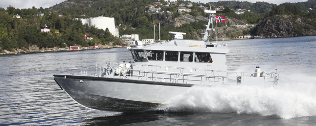
The Royal Norwegian Navy produces naval forces and provides maritime capabilities for operational deployment in peacetime, crisis and war – both nationally and internationally. The main base is Haakonsvern Orlogsstasjon, located 15 kilometres (10 miles) outside the centre of Bergen.
*this information & more could be found at The Royal Norwegian Navy’s website: https://forsvaret.no/en/organisation/navy
Test Mission
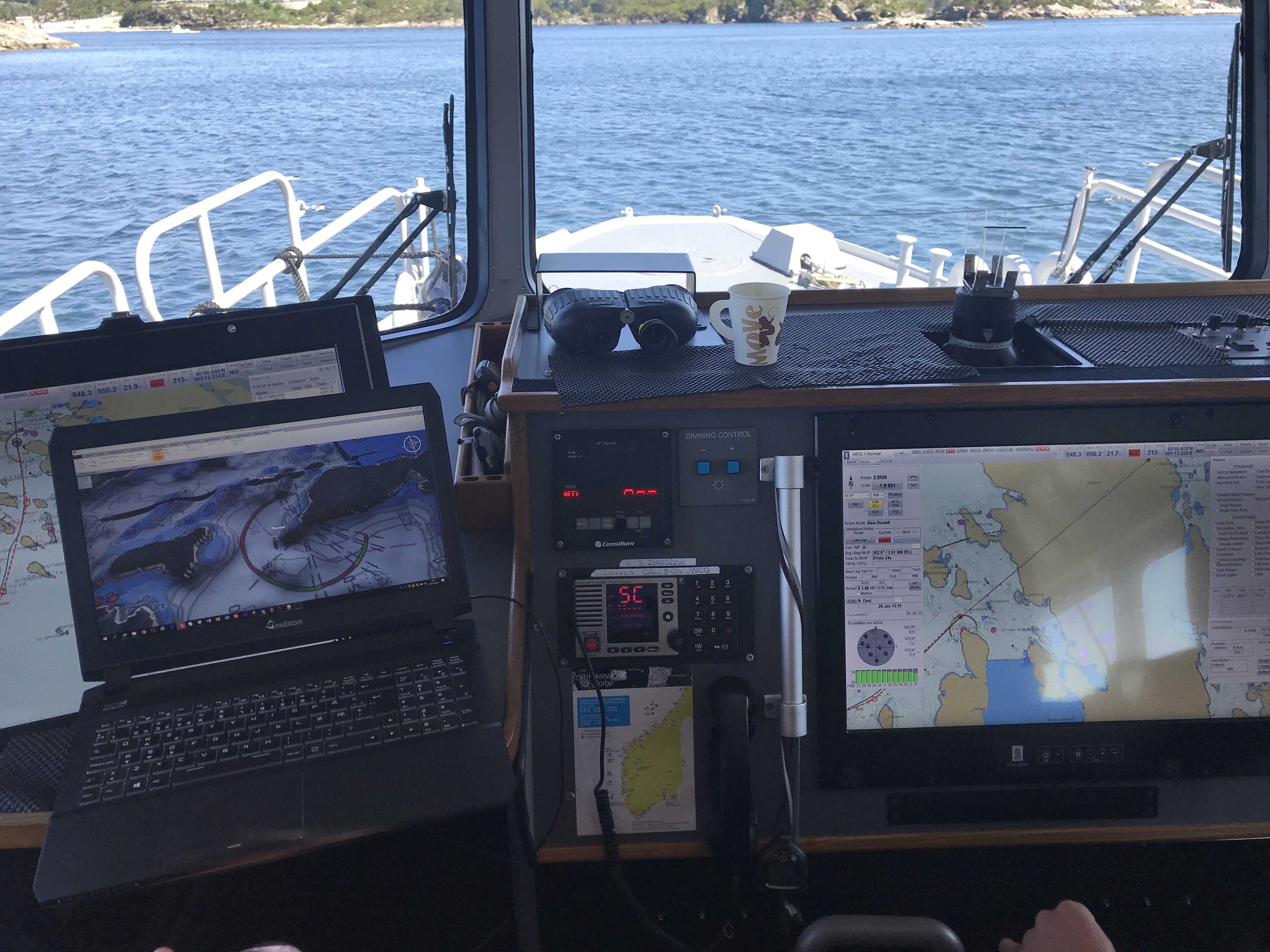
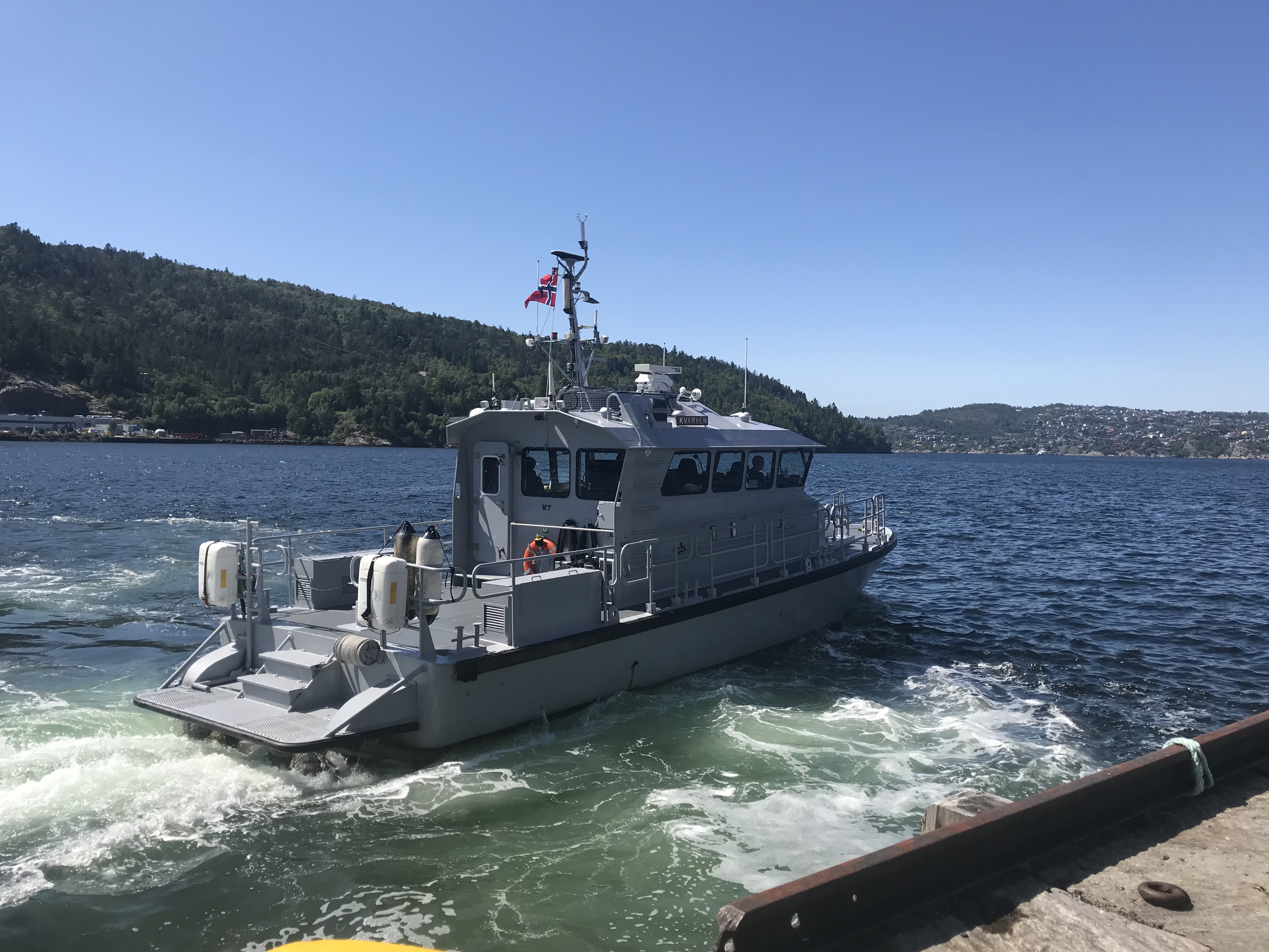
An operational test was conducted on board the Royal Norwegian Navy Vessel Kvarven, in the area south of Bergen. The aim of the test was to test the feasibility of the S-102 demonstrator in operation, and try out operational scenarios such as tactical movement and use of the topography in mission planning through the S-102 demonstrator.
Objectives for the test:
- Planning phase: Look at the possibility of better utilisation of waters (ahead of the voyage)
- Planning phase: Get better situational awareness (ahead of the voyage)
- Onboard: Explore the possibility of entering waters in areas where one would not “normally” operate
- Onboard: Investigate the possibility to better utilise waters to maintain higher speed
- Onboard: Surface navigation
Test execution
- Date of test: 26/06/2018
- Responsible testers: Odd Sveinung Hareide
- S-102 Demonstrator Version: v.5.2
- Weather Conditions: Good weather, northwesterly winds and cloudy, turning to nice weather with sun later.
Dataset used
NOHORDA05M
Layers/Charts
Orthophoto (“Norge I bilder”) and S-57
Chart system
Operational ECDIS system on board vessel- Kongsberg K-Bridge (v7)
Results
The results from the operational test where interesting, and the need for planning tools in the demonstrator highlighted.
Functionalities used & regarded as the most useful during the test:
- 3D viewing is generally useful.
- Ability to use shading (safe/unsafe) is good.
- Ocean feature is useful.
- We were able to see the advantage of all the functionalities that have been included.
Experience from the test
Surface navigation – especially in the planning phase. With value increasing greatly when the database is improved (future testing of planning and implementation with S102 vs S-57).
There were many good discussions during the testing and many points were noted and underlined by KDI and ECC – these were fully supported.
Additional functionalities requested:
- Better overwater topography – this would be useful in planning.
- A tab / area on the screen showing operational data when the vessel is in use, e.g. position, course, speed, depth from the vessels own sensors.
- Ability to import common file formats (or at the very least from Kongsberg’s system, K-Bridge).
- Connection of S-102 to the vessels network to access vessels own data (via network switch).
- Viewing aids for navigation (AToN) e.g. lantern sectors are better displayed – sector from own perspective (active lights). Perhaps better production of iron bars / columns, stakes, bows, warnings or the actual lantern / lighthouse construction. Potential to use “standard objects” (for example from Den Norske Los, bin 1, page 41 and beyond).
- Opportunity for route planning in S-102 (likewise ECDIS).
Evaluation – Value potential
The Royal Norwegian Navy finds great interest in the S-102 demonstrator, especially when it comes to mission planning.
The conclusion so far is that access to S-102 data and viewing the data in a 3D system (like in the S-102 Demonstrator) will be of great value for a navigator to get a situational awareness and recognise a specific AoI (Area of Interest).
It is important, however, to ensure that any new systems introduced, do not take the focus away from navigating based on actual observations (view from the window), but that one considers how and where these new systems can provide the best value, i.e. during the planning phase or in “Back of the bridge” systems.
