
About
- Pilot services:
- Approx. 45,000 pilotage per year are carried out in Norway.
- Vessels are getting bigger and margins are being squeezed.
- Even where depth information is available at the quays, detailed information to push margins is frequently lacking.
- It can be a time consuming task for the pilots to get access to the appropriate depth data information, the data might also come in the format of screenshots from «Hybas» (Norwegian Hydrographic Service database).
- The destination
- Cruise calls to Port of Oslo: This is a popular cruise destination and there are approximately 100 cruise calls a year.
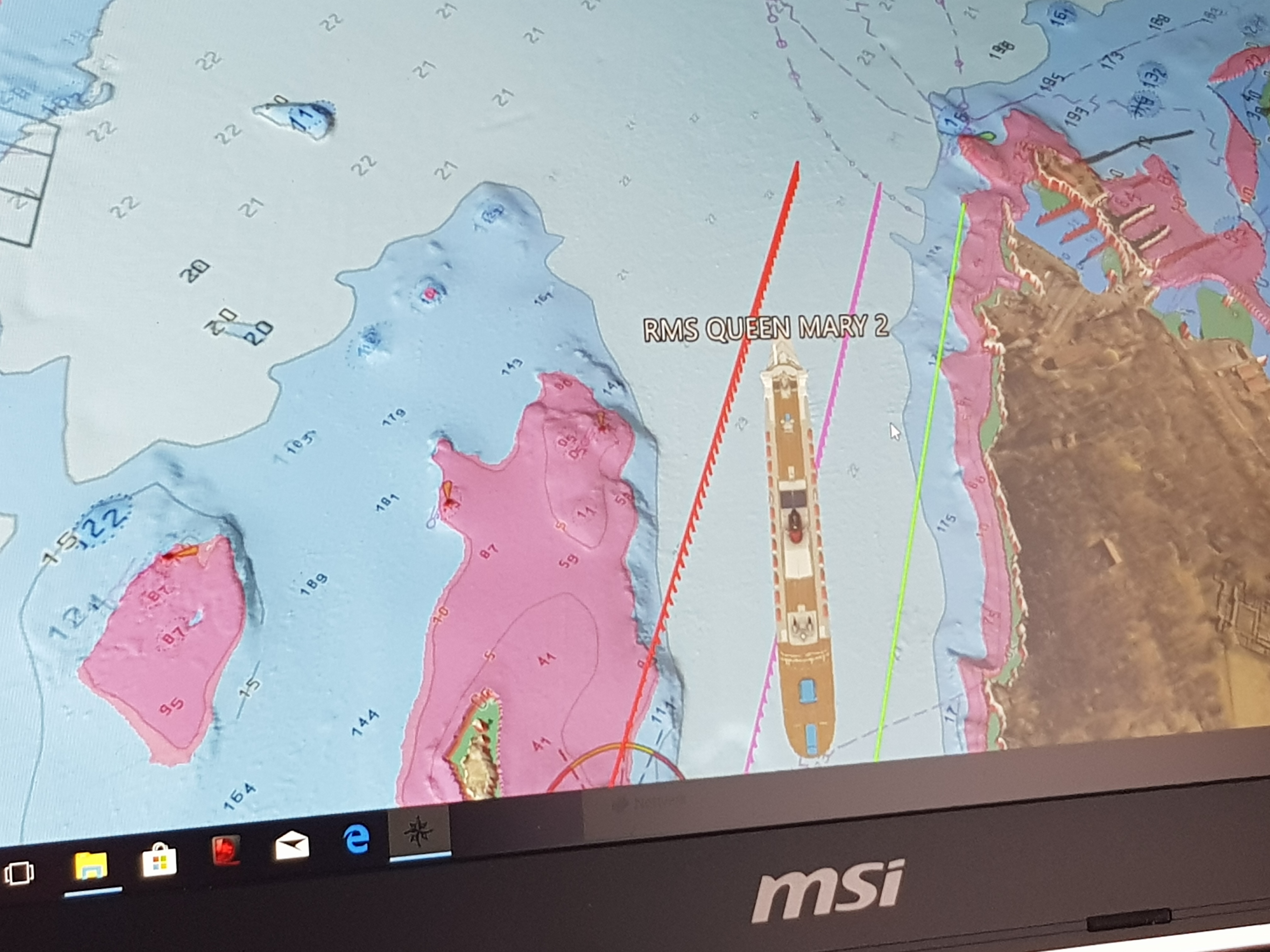
- Oslofjord: The route from Færder to Oslo Quay (Akershus) is 56 nautical mile long. The particular area between “Drøbak” and “Stro” is very narrow and challenging for massive vessels like cruise ships. In addition, the final part of the route from “Nesoddtangen” to the quay “Søndre Akershuskai ” is demanding both in relation to wind and depth.
- Queen Mary 2
- GT: 149215, Length Overall x Breadth: 345.03m × 48.7m
- 10.2m draught
Test Mission
- Select a vessel that could represent the new trend – massive in size and with a deep draught.
- Select an area were margins are often challenged.
- Get S-102 datasets from Oslofjord and visualise the planned route through the S-102 Demonstrator.
- Evaluate and examine the value of the S-102 data in a real operational situation whereby the safety margins are small and the consequences are high risk.
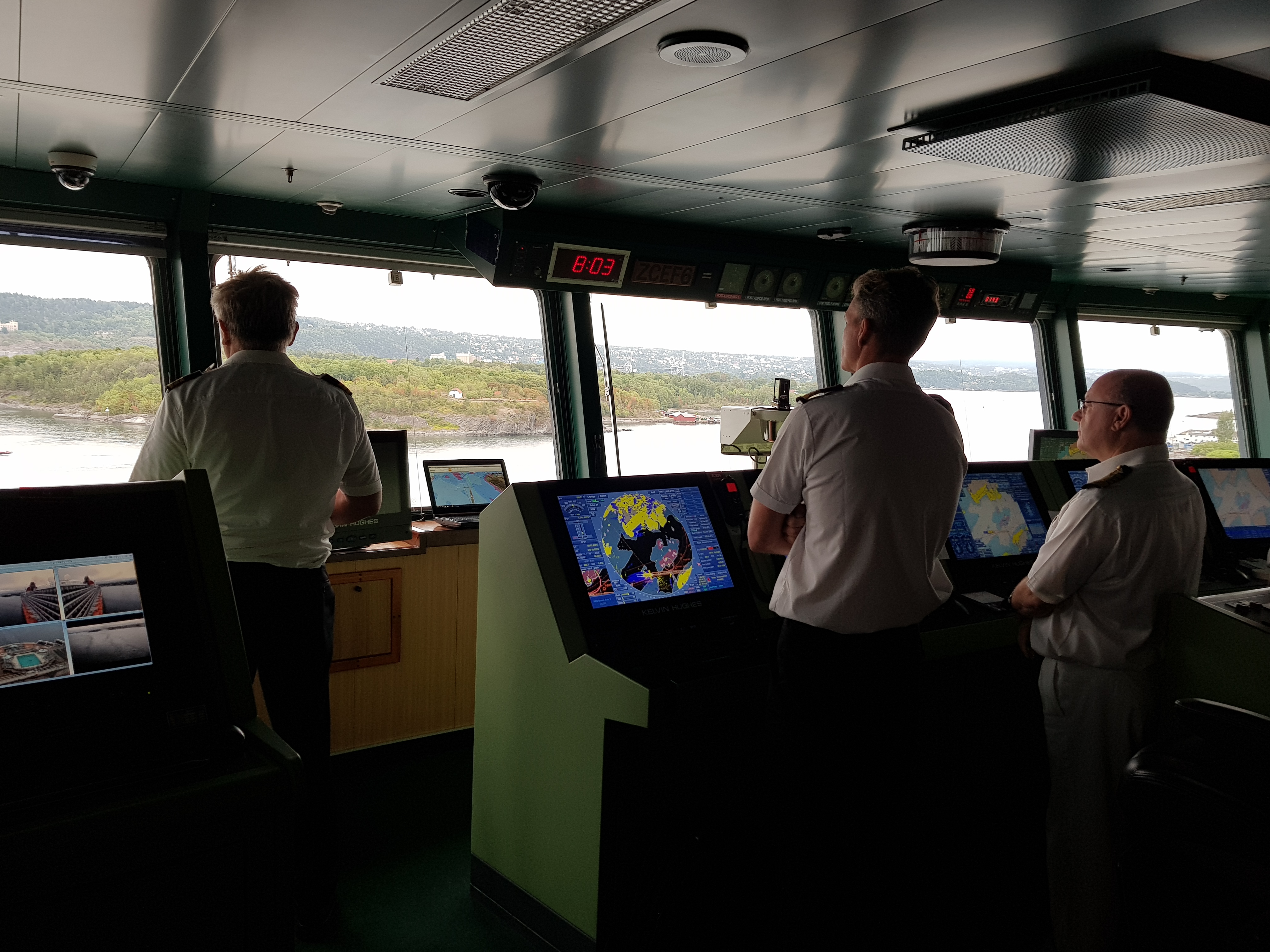
Test execution
- Date of test: 15.08.2018
- Responsible tester: Jim Pedersen (marine pilot)
- S-102 Demonstrator Version: 5.4.1
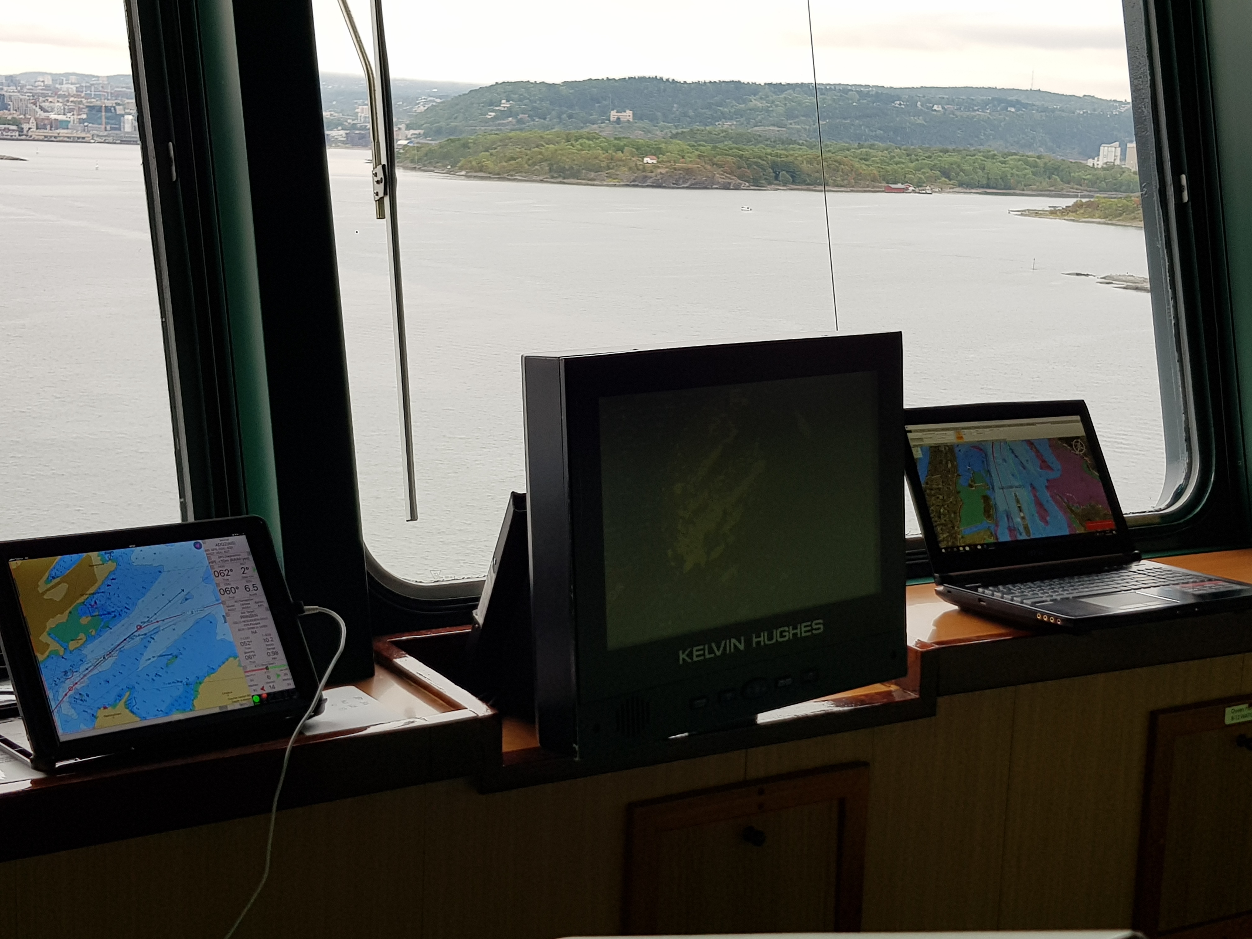
- Weather Conditions: Cloudy but with calm seas
Dataset used
xxx
Layers/Charts
xxxx
Chart system
xxx

Results
Functionalities used & regarded as the most useful during the test:
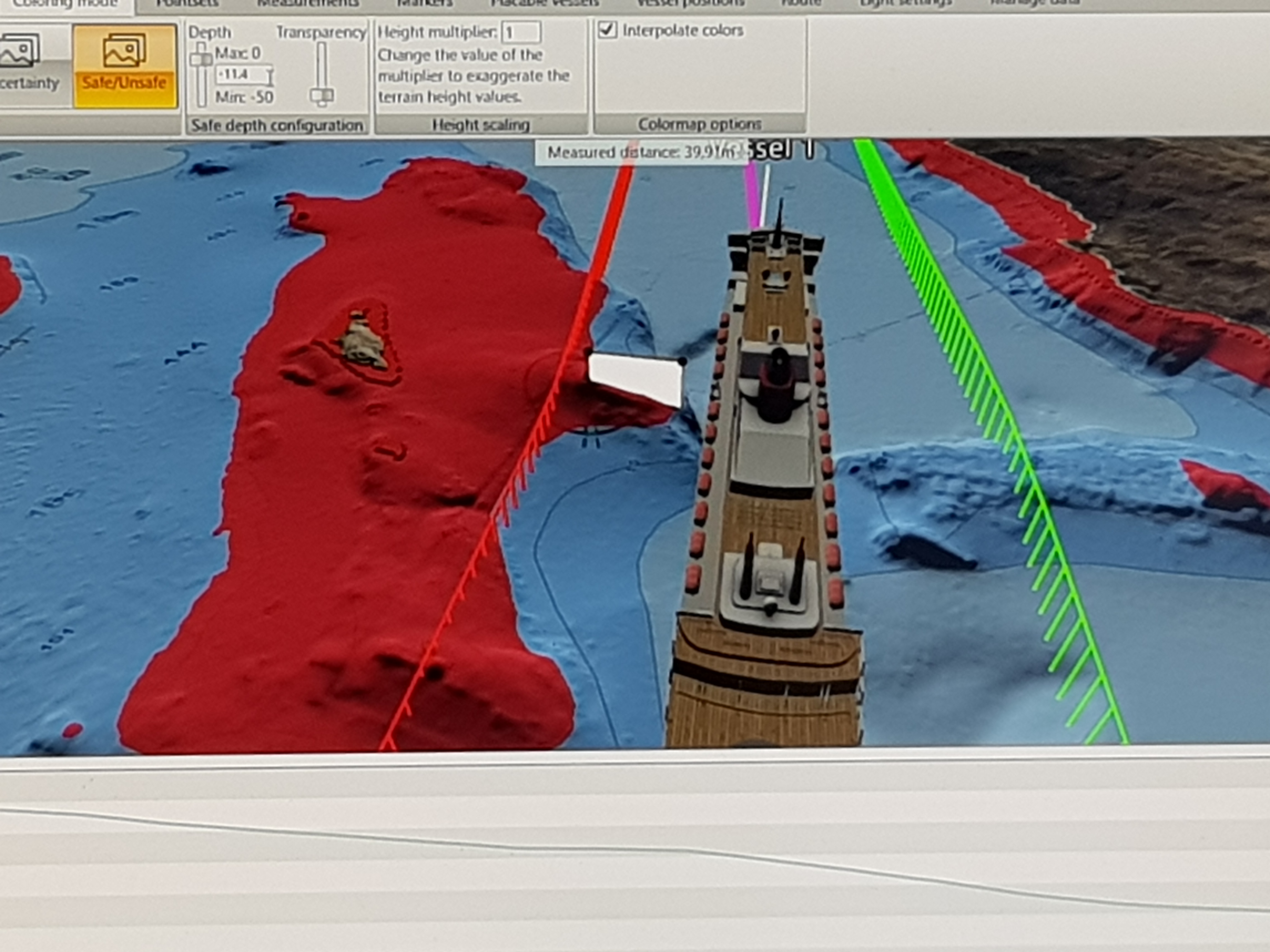
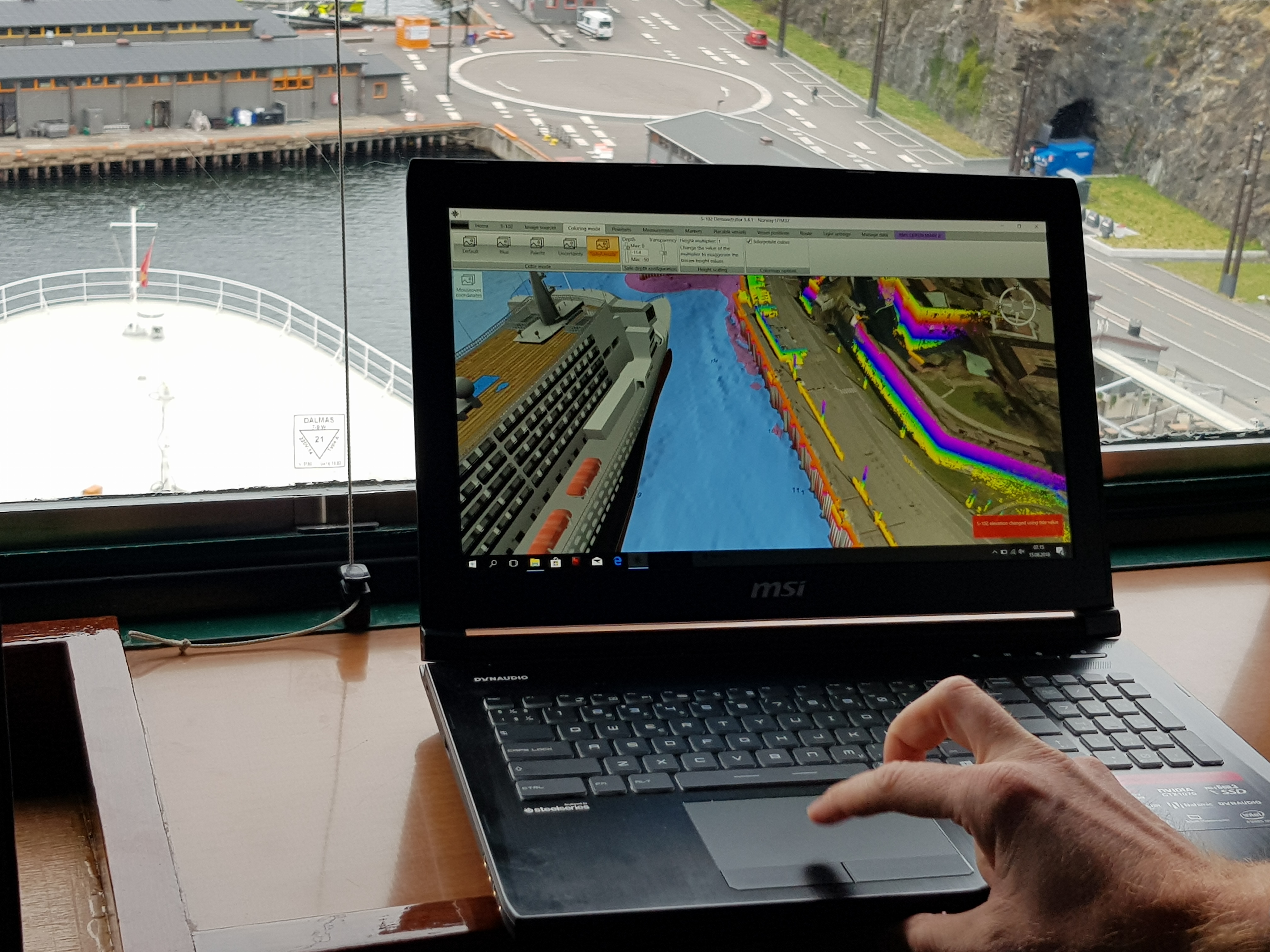
- S-102 provides a new dimension to safety with exact depth contours being generated for a particular vessels draft and desired under keel clearance.
- In this case, a generated depth of 11.2m was used based on a draft of 10.2m and a 1.0m “desired under keel clearance”.
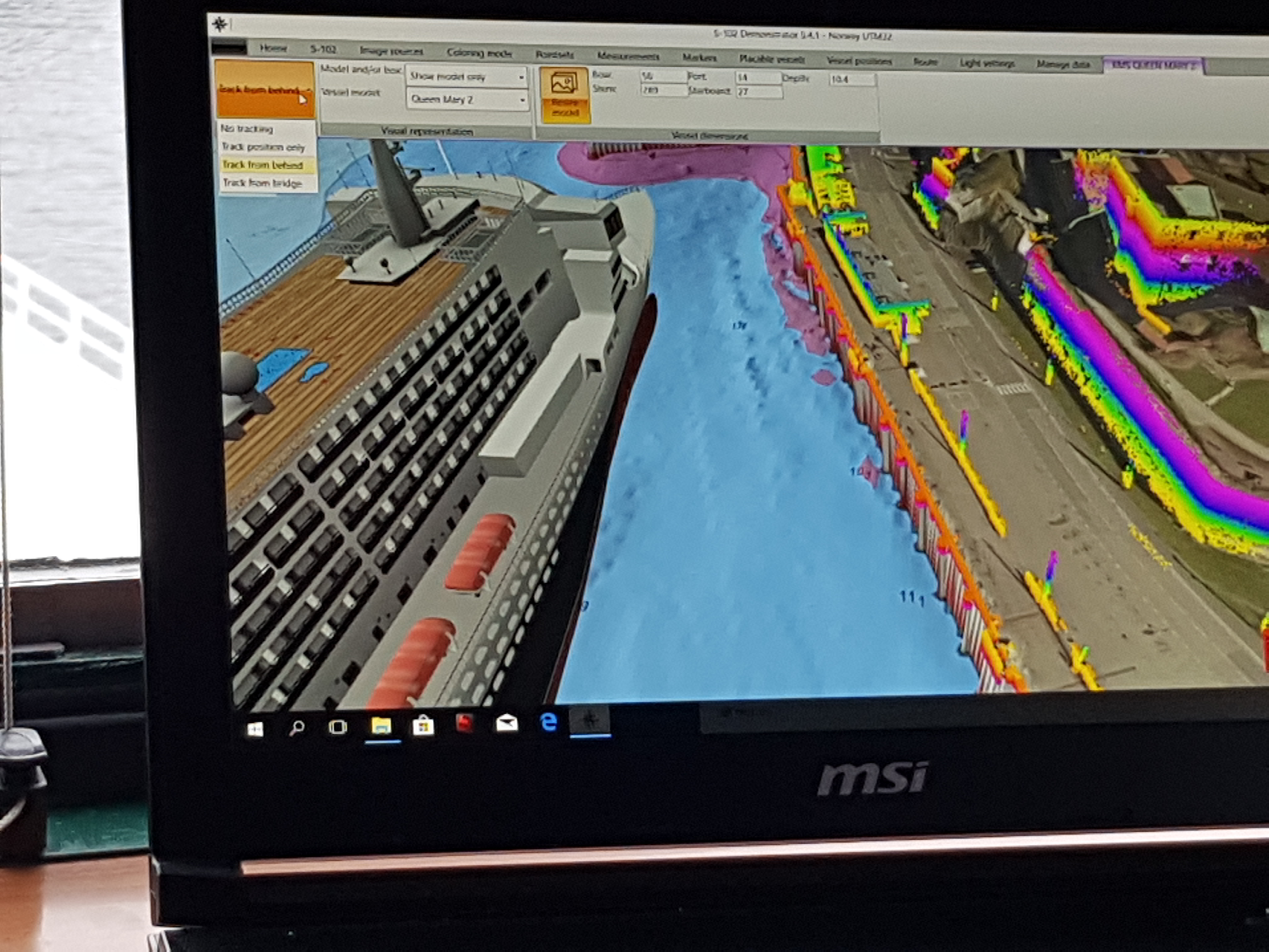
- Depths shallower than the vessel draft of 10.2m were along the quay, however, by using a correct 3D model of the underwater hull, sufficient safety levels were achieved.
- Of additional benefit was the ability to enter tide information and particularly water level warning. Utilisation of this function enables the calculation of tidal warnings during the operational period.
Experience from the test

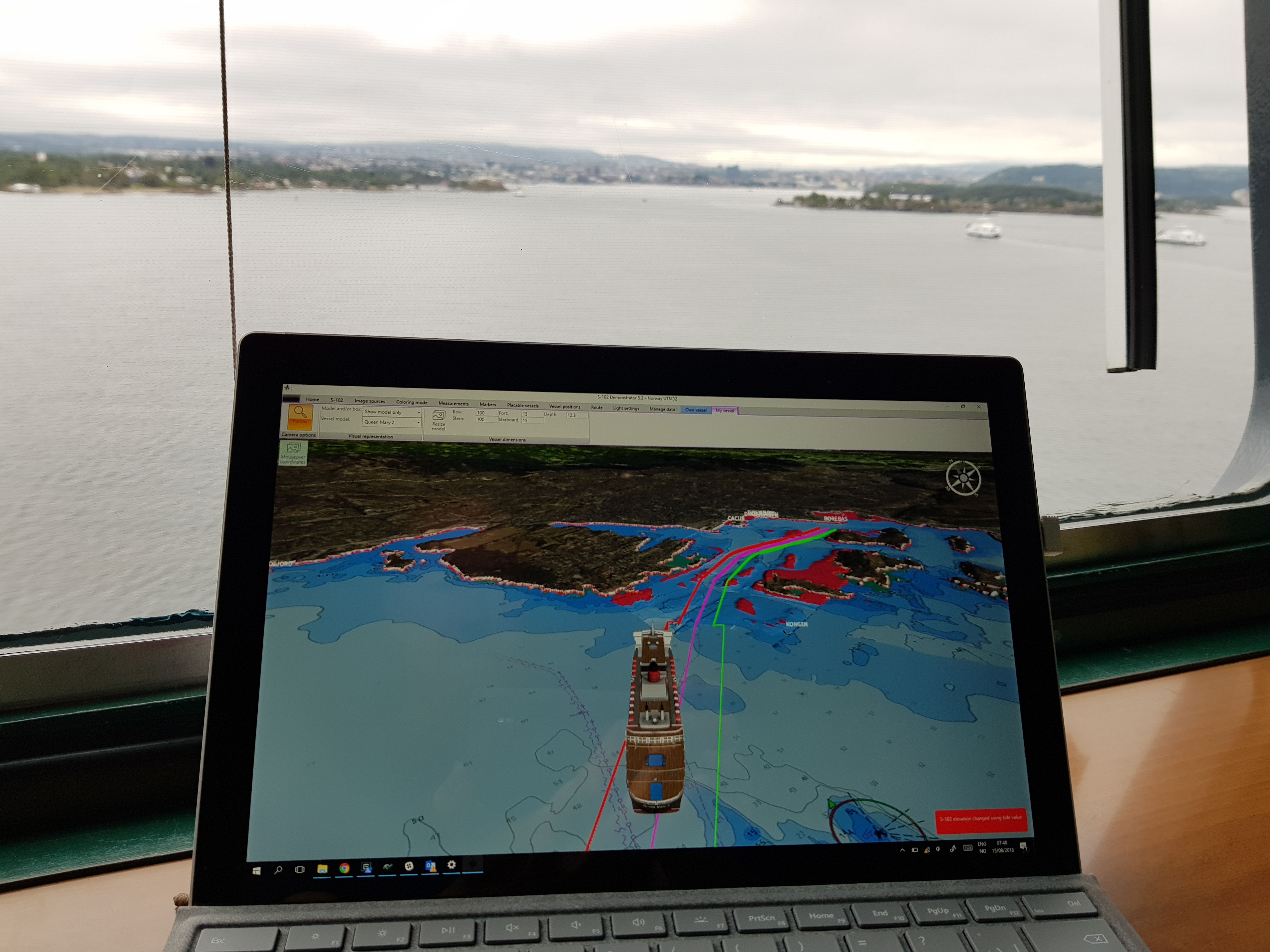
- The crew was impressed by the level of detail visualised in 3D mode through the S-102 Demonstrator.
- The Crew welcomed the chance of a briefing of the planned route prior to any manoeuvres taking place. After the briefing, the QM2’s captain commented “Can we get this for our next port of call – in Stavanger?”, obviously seeing the huge benefit in having access to this information.
- Together with the exact 3D models of the QM2’s hull, the quays could be utilised more effectively.
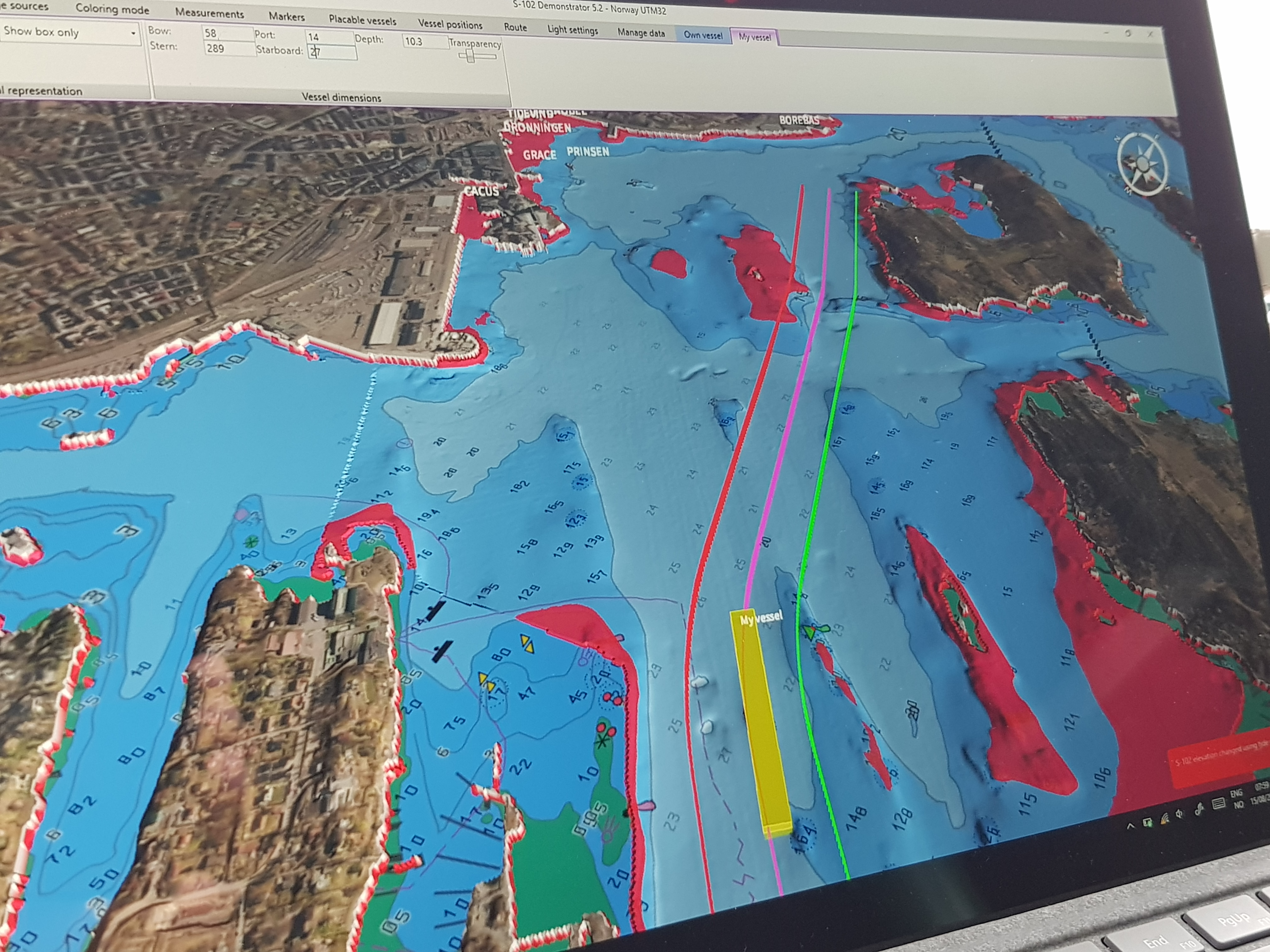
- With the various map layers that can be added into the S-102 Demonstrator, it makes control of natural transit lines towards buildings, hilltops etc much easier, especially in combination with good topography models.
- On one specific part of the route, the Pilot even discovered that one of the shallow areas reached out further into the planned route than they anticipated, based on prior information.
Additional requested functionalities
Ability to calculate “swepth path” based on course, speed, dimensions, estimated pivot point and ROT would be useful.
Evaluation – Value potential
Using S-102 data and being able to see it in a 3D viewer (like the S-102 Demonstrator) enhances the ability to:
- utilise depth conditions in a safe and secure manner, contribute to safety, efficiency and cost effectiveness.
- make maritime transportation more cost-effective as it can increase the tonnage transported, without compromising safety.
- exploit routes and ports more effectively and in a more secure manner.
- provide a much better situational understanding for navigators as clear limits are set for safe navigation.
